Trekking to Choquequirao and Machu Picchu
From Cusco, we started off on our trek through the Andes. The most popular trek around here is the Inca trail to Machu Picchu. This trail is famous and therefore very busy – they limit the number of people on the trail to 500 per day and require everyone to have a guide (and porters too, I believe). Since we had no desire to share a trail with 498 other people and didn’t really care to be guided, I went searching for alternatives.
The trail we settled on went from a town called Cachora, a few hours from Cusco by bus, to the Inca ruins of Choquequirao (ask Jeff to pronounce that for you – he still can’t quite say it). From Choquequirao we had the option of continuing on to Machu Picchu or returning to Cachora. Our extra time acclimating in Cusco had cut down on our time for the trek, so we weren’t sure if we’d be able to make it all the way to MP. We had a trip description from some people who had done the trek in 5 days, so our goal was to see if we could match what they did.
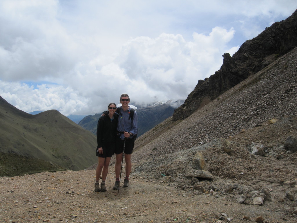
What we didn’t really know going into this was that hiking through the Andes involves huge amounts of up and down through high elevation. Over five days, we climbed and descended more than 20,000 feet and climbed a pass every day. One day we climbed over 7,000 feet and went over a pass around 14,000 feet, and the day after we topped a pass at 15,500 feet, the highest either of us had ever been. The mileage was only about 60 miles total, but was the hardest backpacking trip I’ve ever done. We would get up with the sun every day and hike until dark.
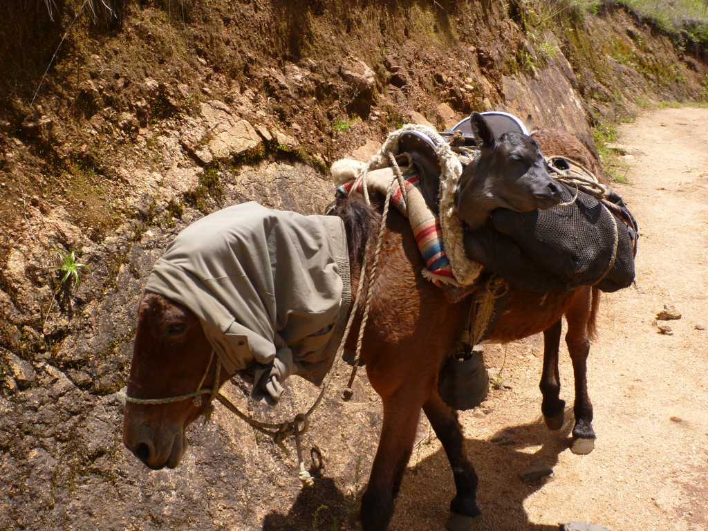
A farmer was herding a mother cow up the trail (with much difficulty). Look at the side of this mule(?) and you’ll see the calf. We saw cattle in some incredible places.
I was still recovering from a cold when we started hiking, and the stress on my body made the cold worse again for several days. I also picked up mild food poisoning for the last couple days, just as we were climbing to our highest pass. These didn’t help make hiking any easier.
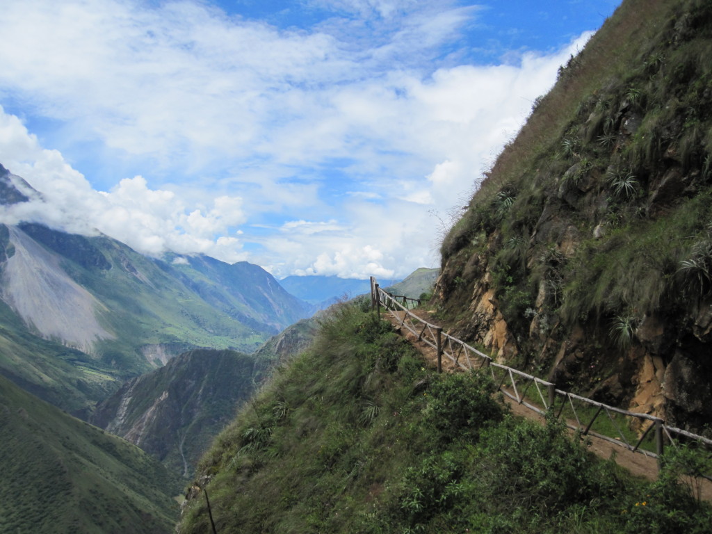
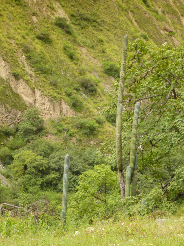
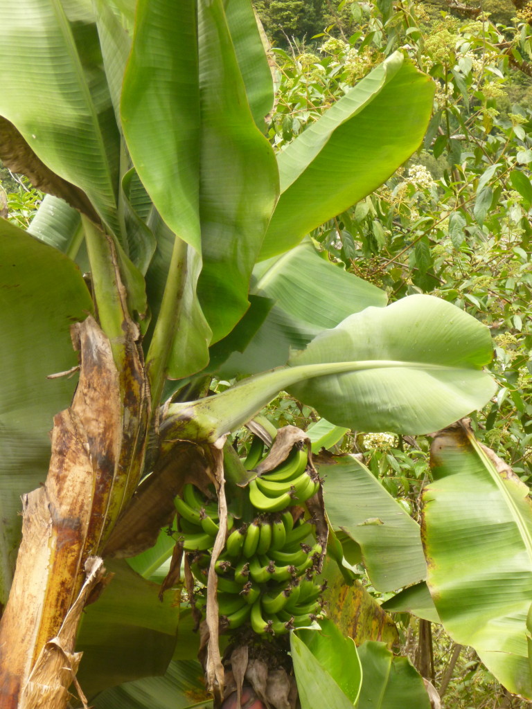
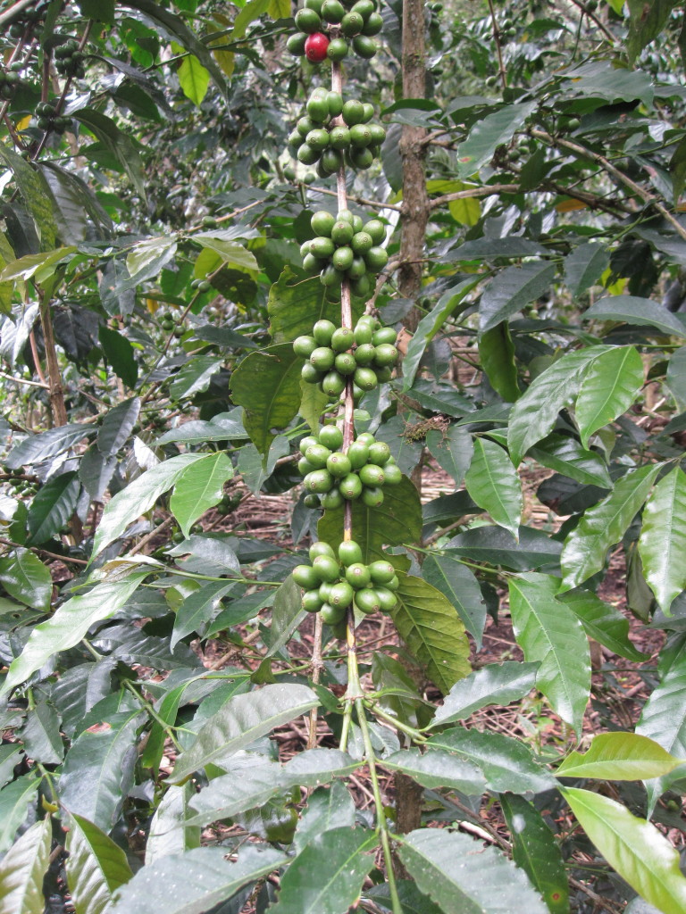
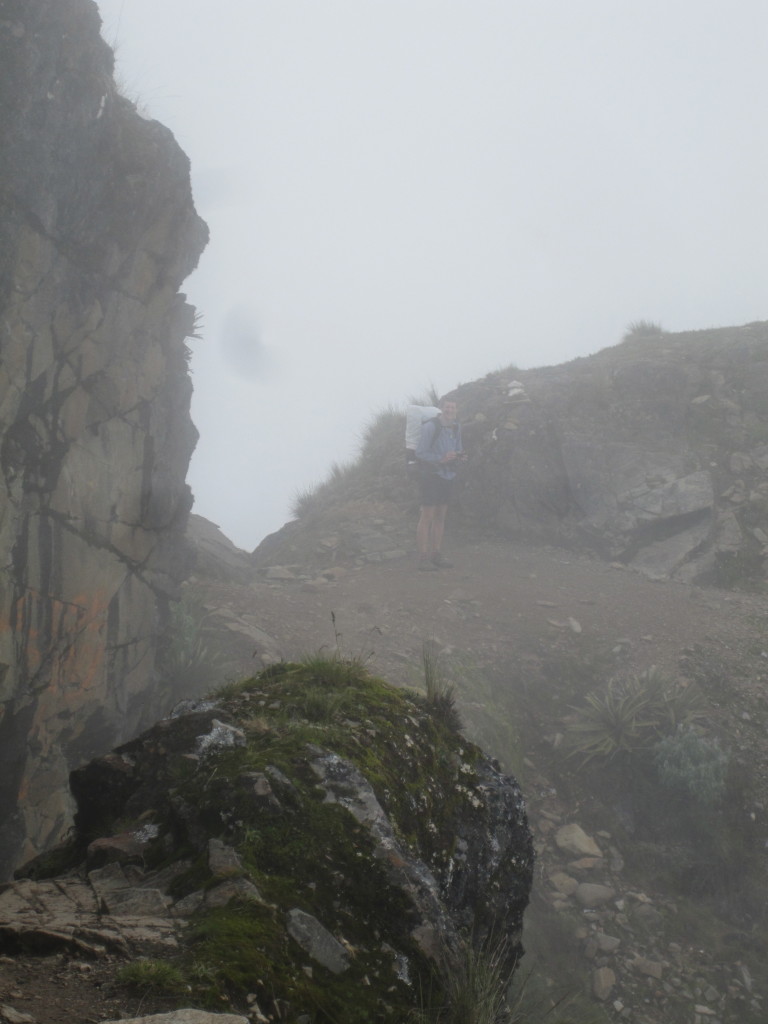
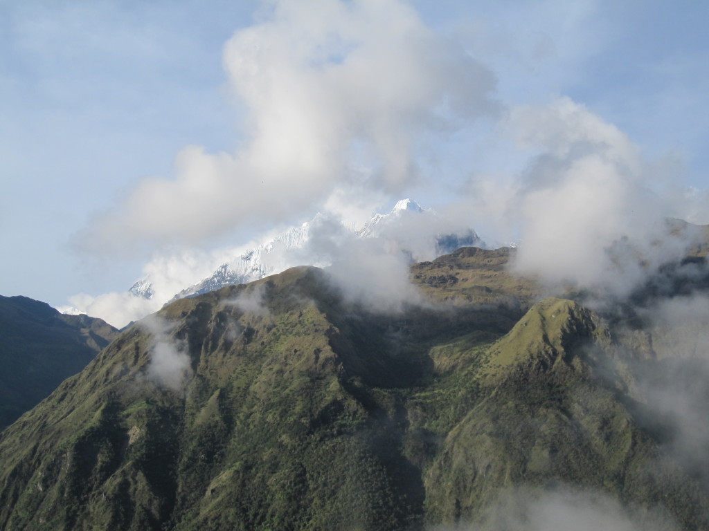
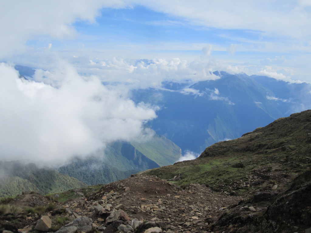
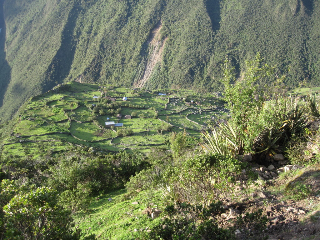
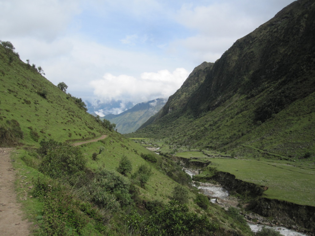
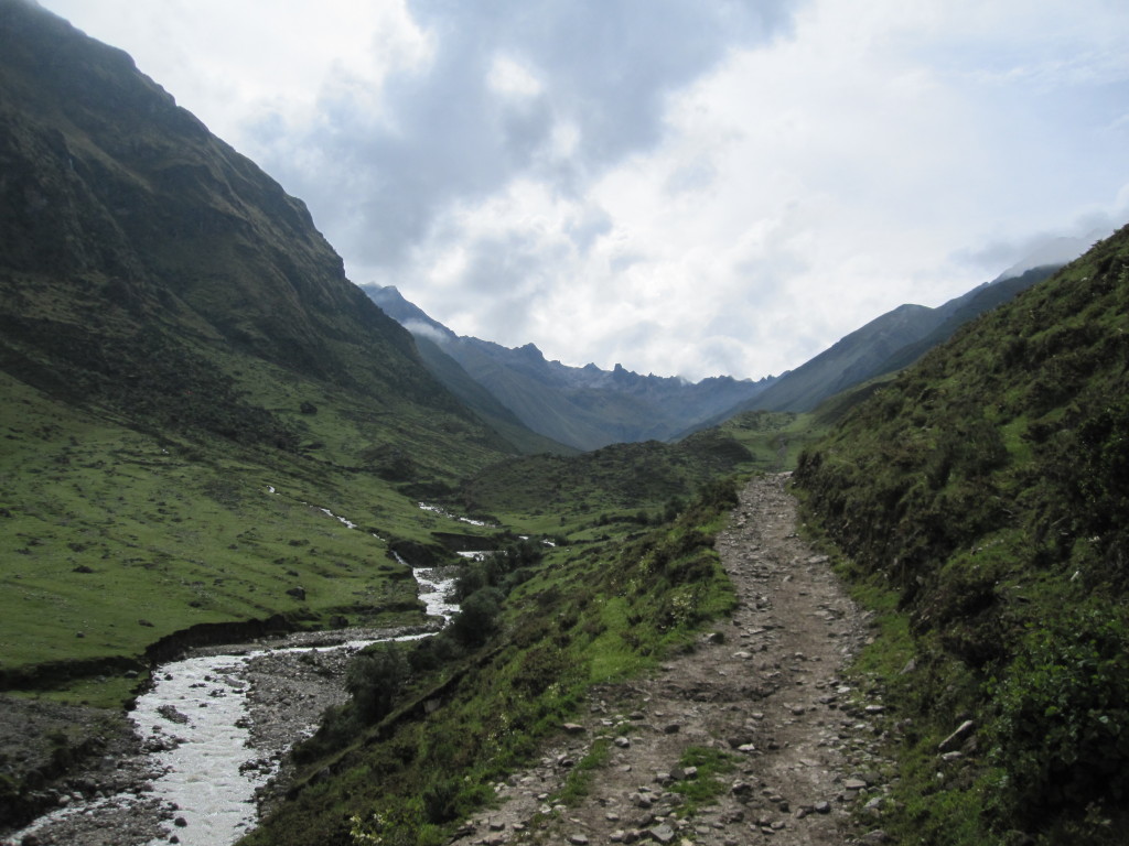
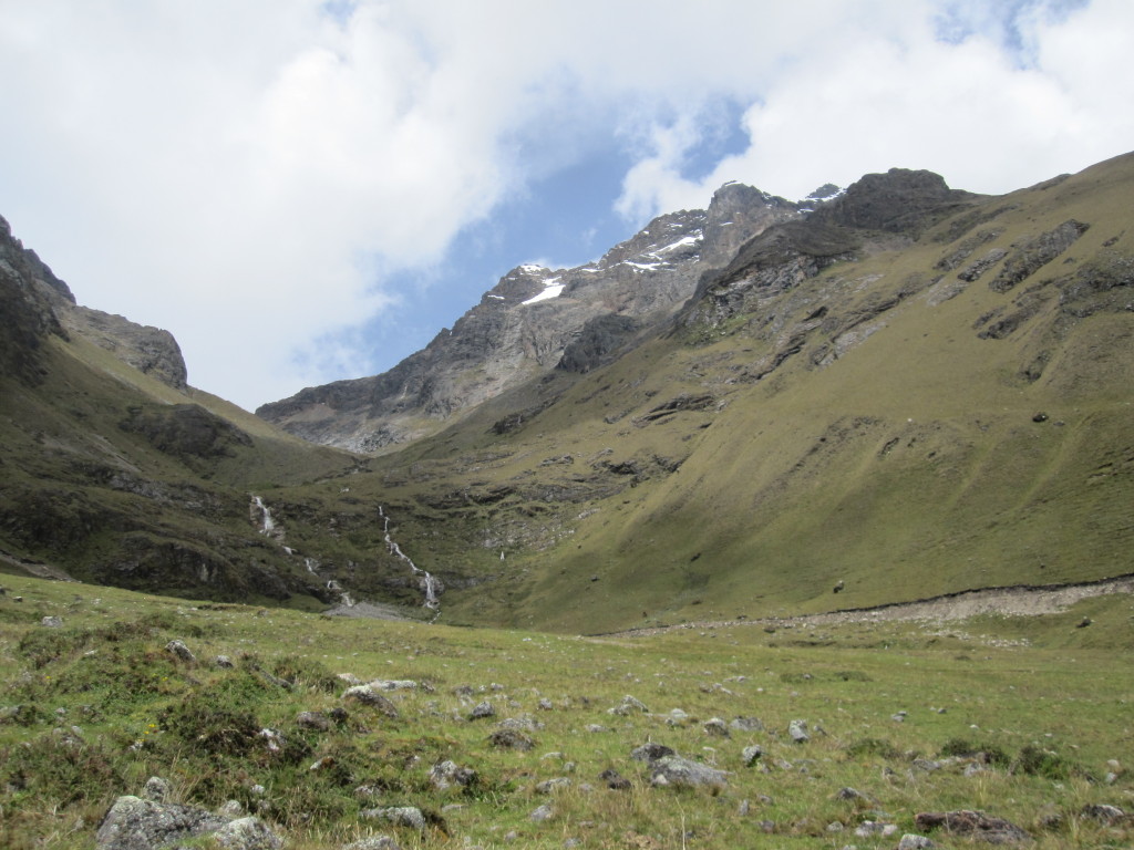
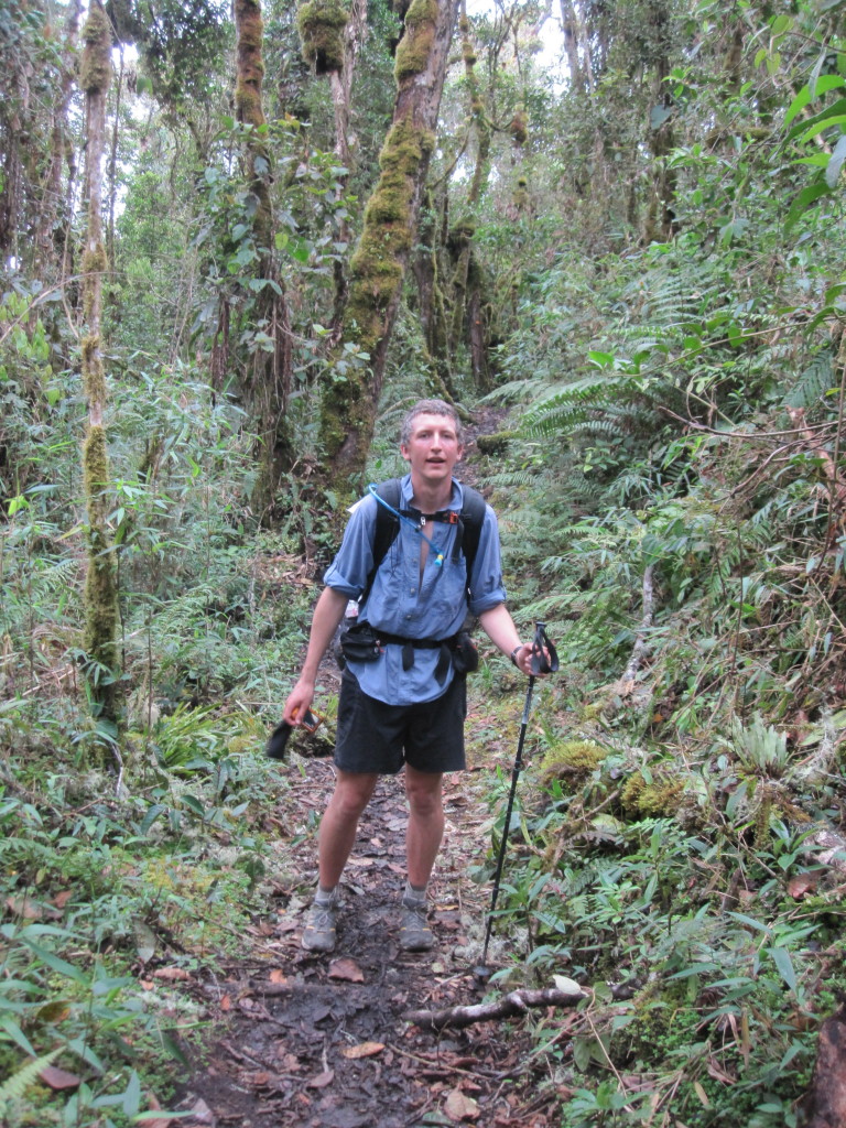
Though hard, the trek was also amazing. The scenery in the Andes was spectacular, and since we were at the end of the wet season, everything was super green. It was interesting to go through all the different climactic zones from rainforest to alpine. As high as we got, there was still plenty of mountains higher than we were. As we crested the 14,000 foot pass, we saw a mountain ahead that was waaaay higher than we were. We think it must have been around 20,000 feet high. Because it was still in the wet season, most of the high mountains were covered by clouds most of the time, so we only got a few good views of the really high mountains.
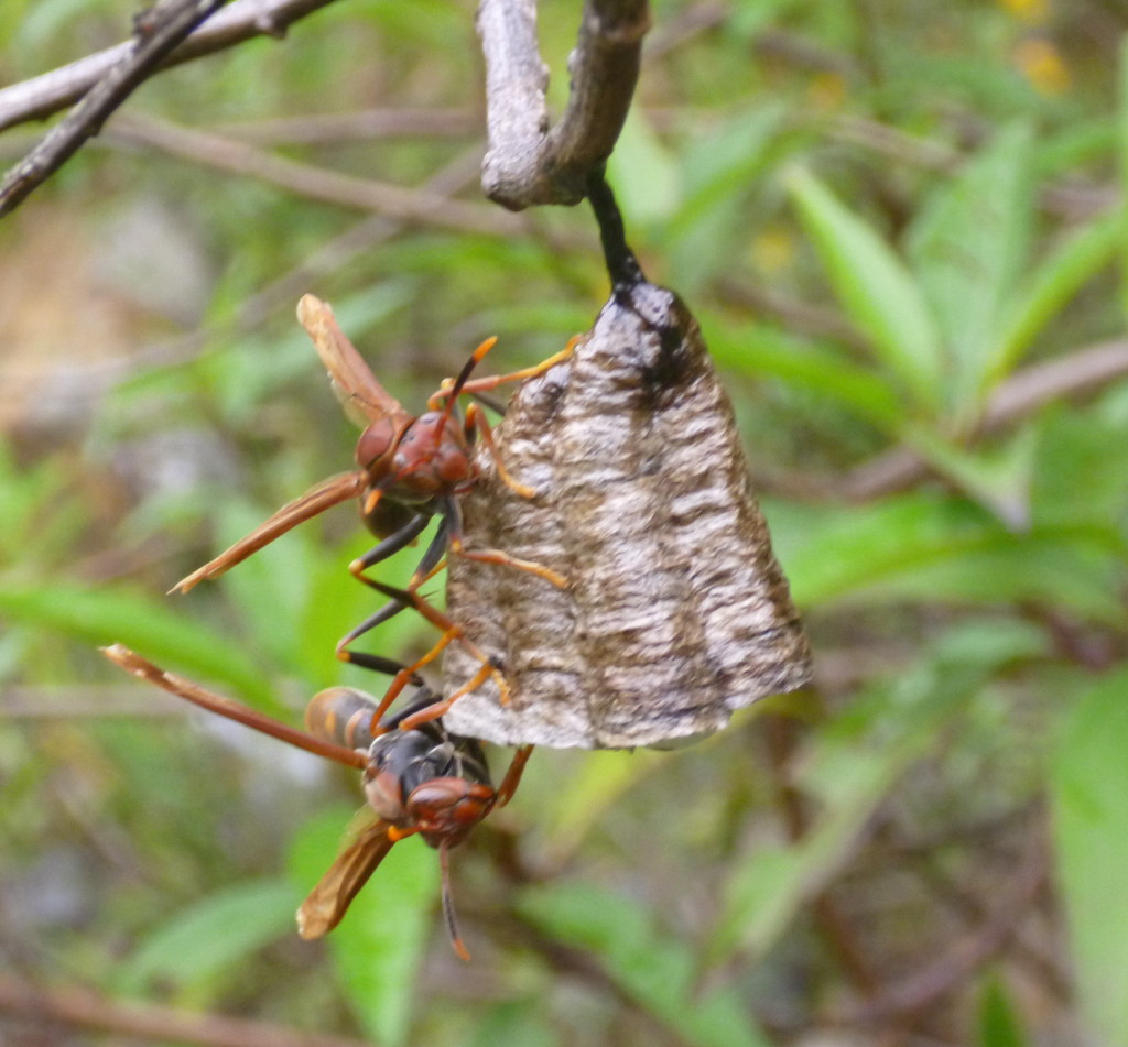
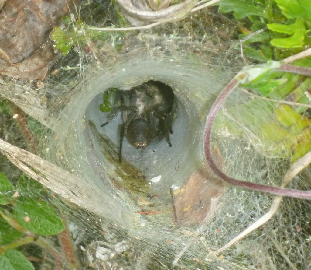
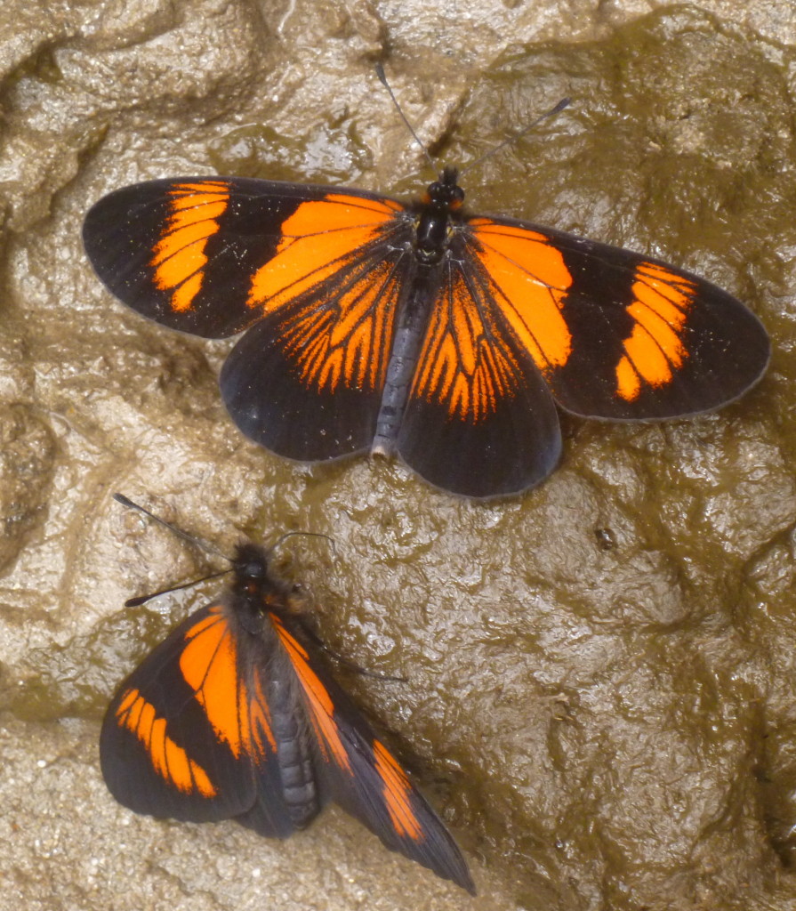
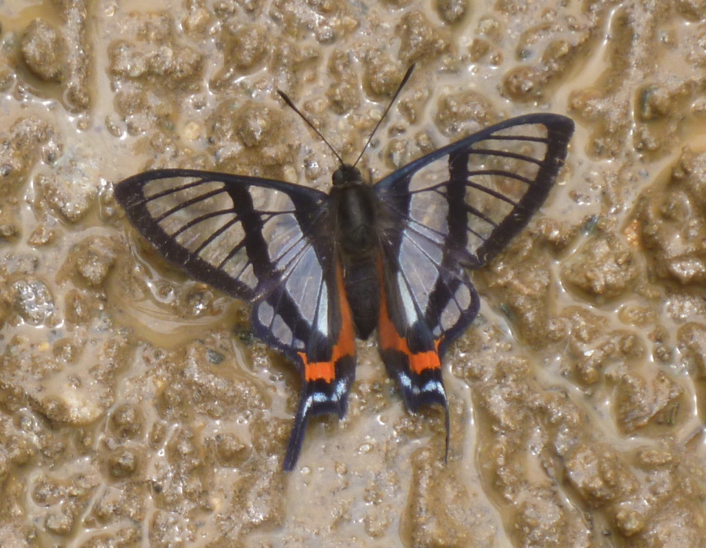
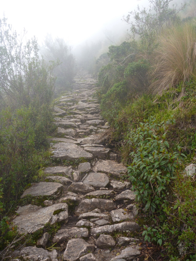
Wild and plant life:
Really high mountains:
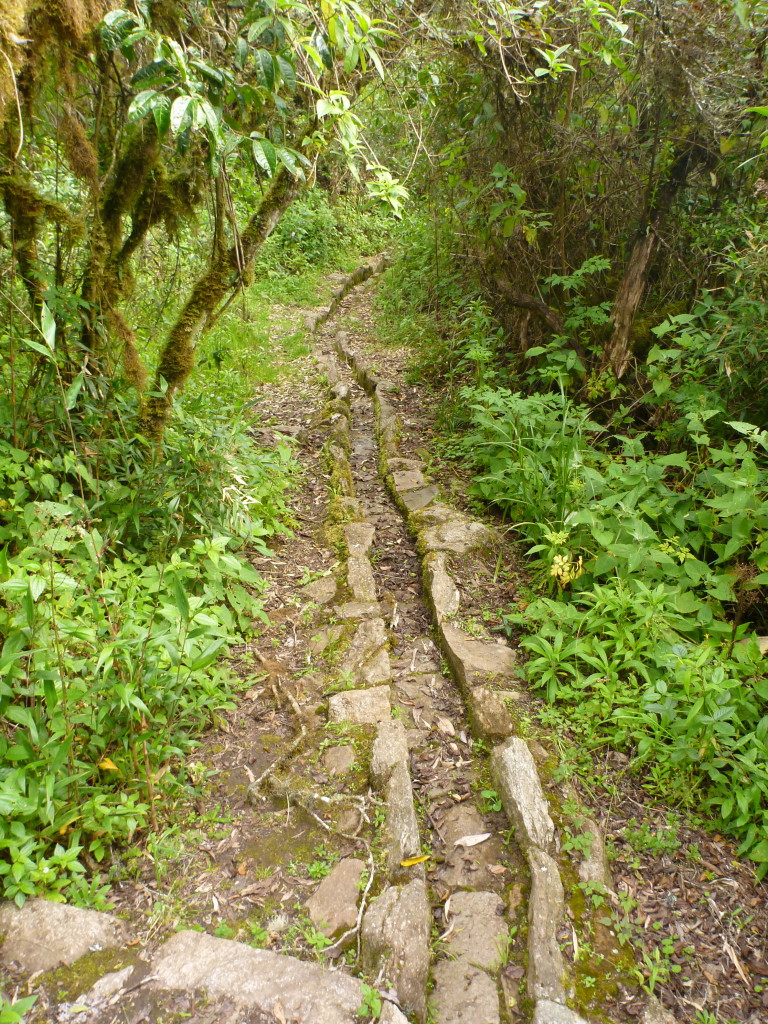
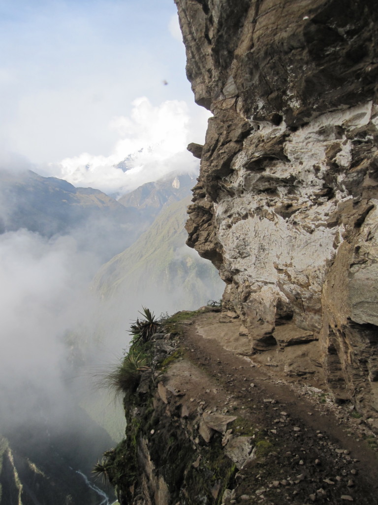
We has the hike mostly to ourselves as far as non-native people go. We saw about 6 white folks on our way to Choquequirao, and none at all for the next three days until we intersected with another popular trek. Not that we didn’t see anyone – we passed several small towns and homesteads along the way, and there were local people working on the trail in a few sections as well (who always managed to ask us for a donation, despite already being paid). We decided that the Peruvian trail maintenance happening was actually making the trail a good bit worse in the long run, as they were just taking out rocks and not adding any water channels. A few good rains, and that trail would be a river. I hope they do a better job on the more popular routes. In contrast, the sections of old Inca-made trail we encountered were amazingly well done and well preserved.
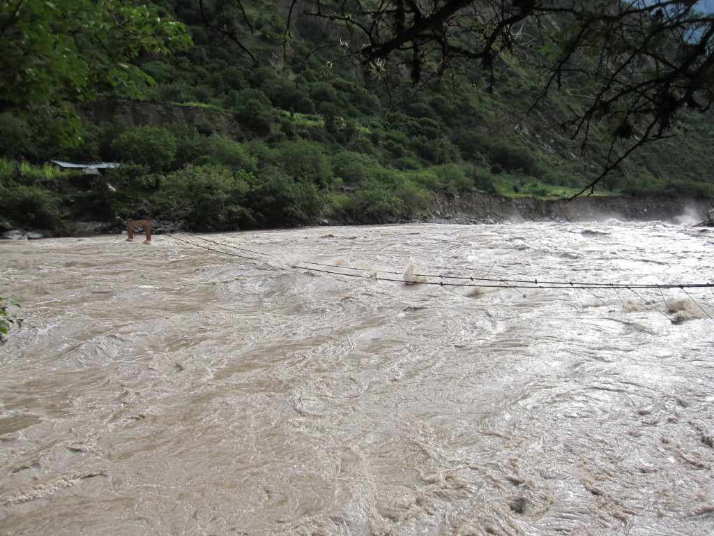
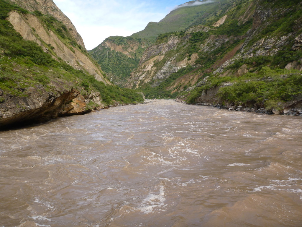
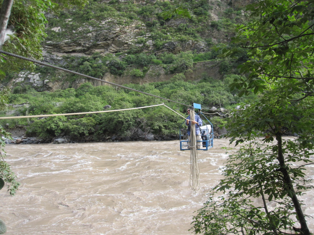
To get to Choquequirao, we had to cross a fairly large river. Upon approach, we could see that the bridge across was completely submerged. Even the handrails were under water. Instead of the bridge, we took a cable car across. Nothing new for Jeff, as they have these in the Cascades, but a new experience for me. Kind of terrifying and awesome as you hang over a roaring river pulling yourself across (which was hard for this weak-armed girl).
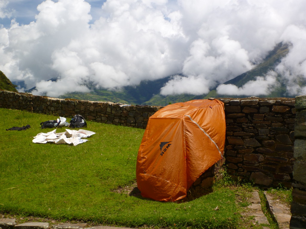
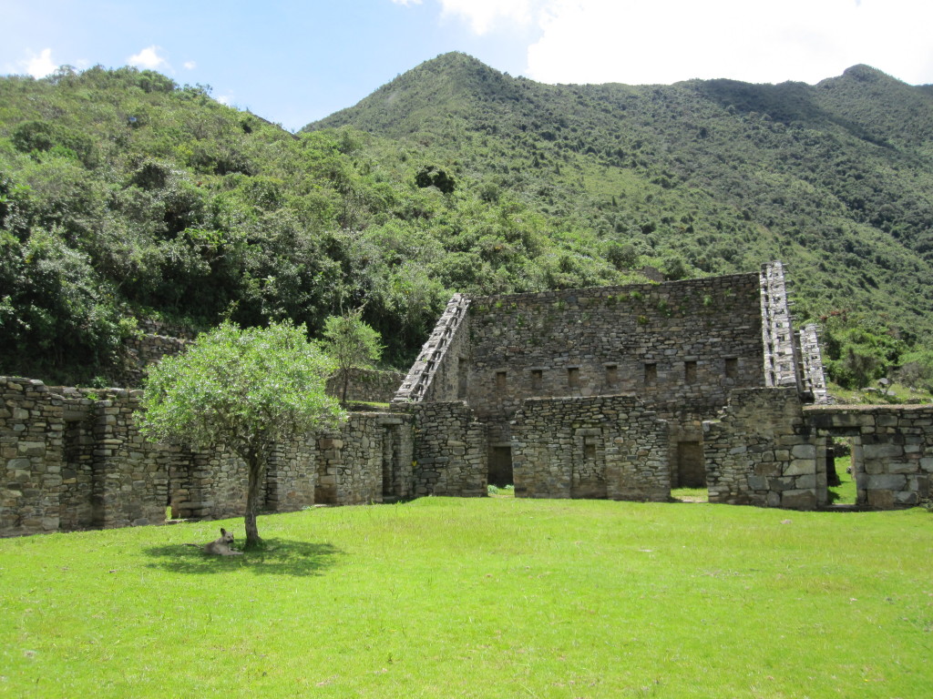
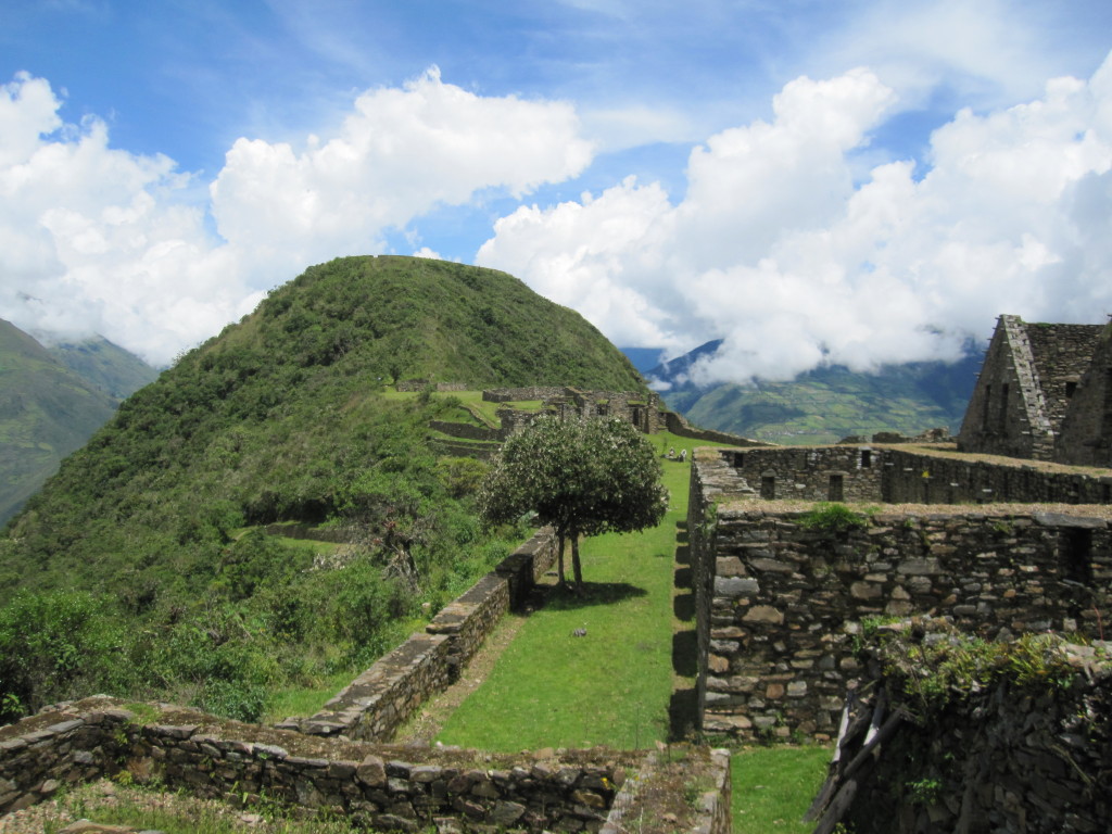
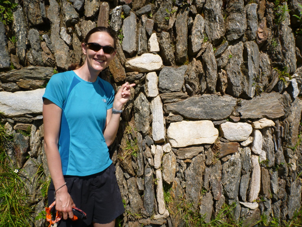
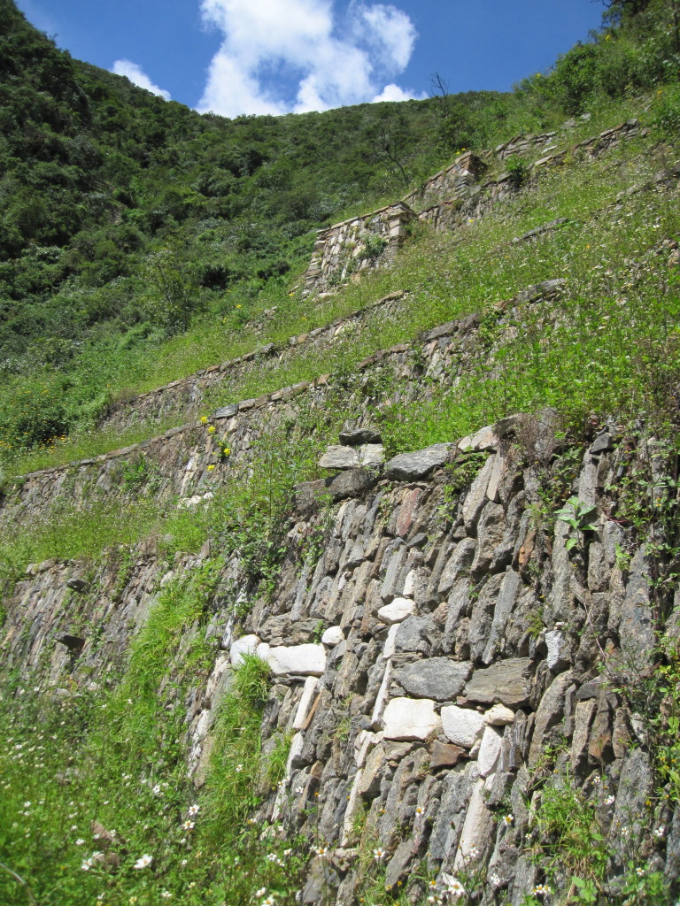
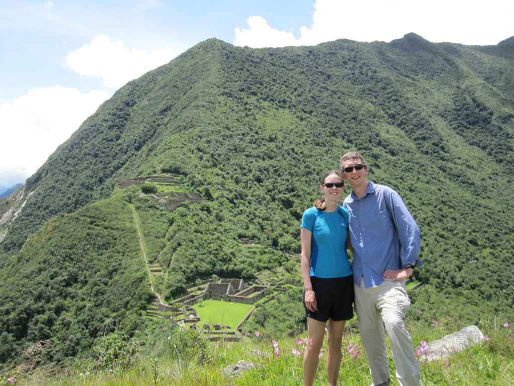
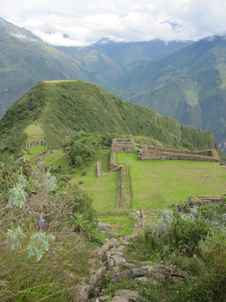
We had the ruins of Choquequirao all to ourselves, with just two rangers to keep us company and make sure we didn’t do anything too bad. Apparently hanging our wet tent on the walls was okay though. The ruins were interesting. I’ve heard that they are considered the second best site after Machu Picchu. Though much smaller and with less impressive stonework, they were still very impressive, and maybe more fun since we weren’t sharing them with hundreds of other tourists. This site is known particularly for the llamas which are worked into some of the terrace walls in white stone. It was a bit of a hike down to them and also gave us more perspective on just how big and steep their terraces were. To get back to our trail, the rangers told us to climb up the water channel that once brought water into the site. Definitely would not have been allowed at Machu Picchu. We heard rumors about a proposed gondola into Choquequirao from a town across the valley with road access; if put in, it would really change the experience of the site.
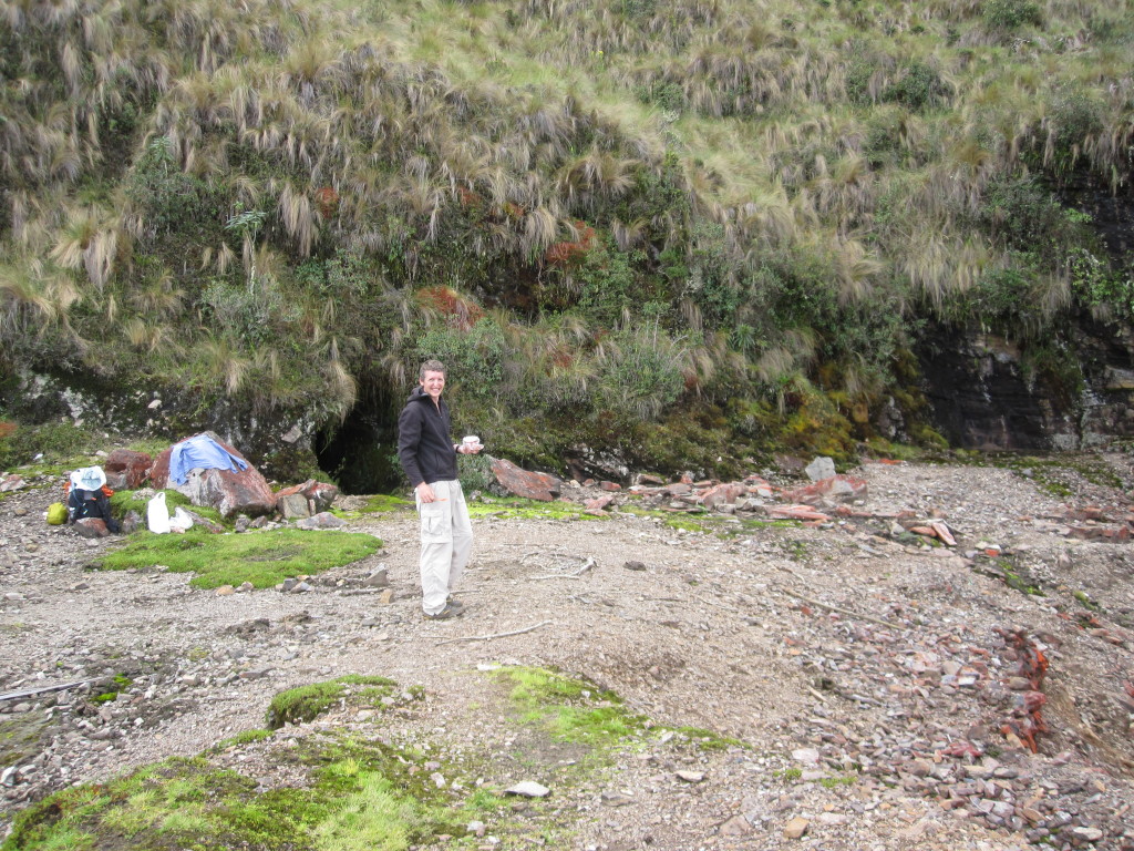
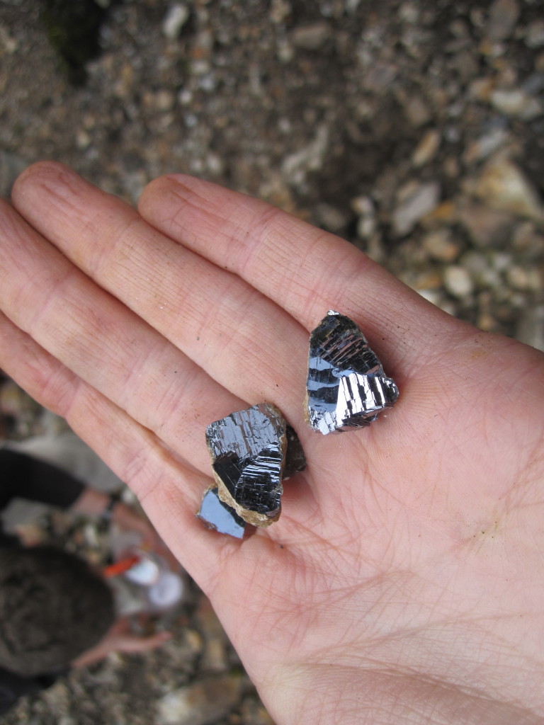
Near the top of the 14k pass, we walked through a mine tailing. I convinced Jeff to stop so we could look for interesting rocks. We quickly found that there were galena deposits here, and spent a while trying to find heavy rocks that might contain galena. Jeff got really into it, and it was hard to pull him away or convince him that we didn’t need to bring every rock home. He still probably ended up carrying ten pounds of rocks for the rest of the trip.
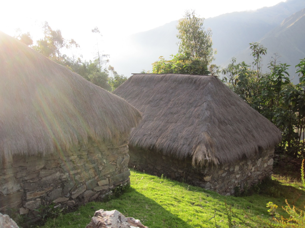
In the valley after this pass, we reached a town called Yanama. Set in a stunningly beautiful place with mountain, valley, and river views, it was a very traditional community and lifestyle with maybe around 30 families. There are no roads into Yanama, though we discovered on our way out the next day that they are putting one in which will no doubt change the town completely. We stayed the night in the yard of a family on the outskirts of town. We also bought some dinner from them (which is likely where there food poisoning came from) and they invited us into their hut. It was interesting to see something of the way they live, cooking on wood fires and with guinea pigs (a local delicacy) running around under foot. A simple but hard life, though they seemed to have enough.
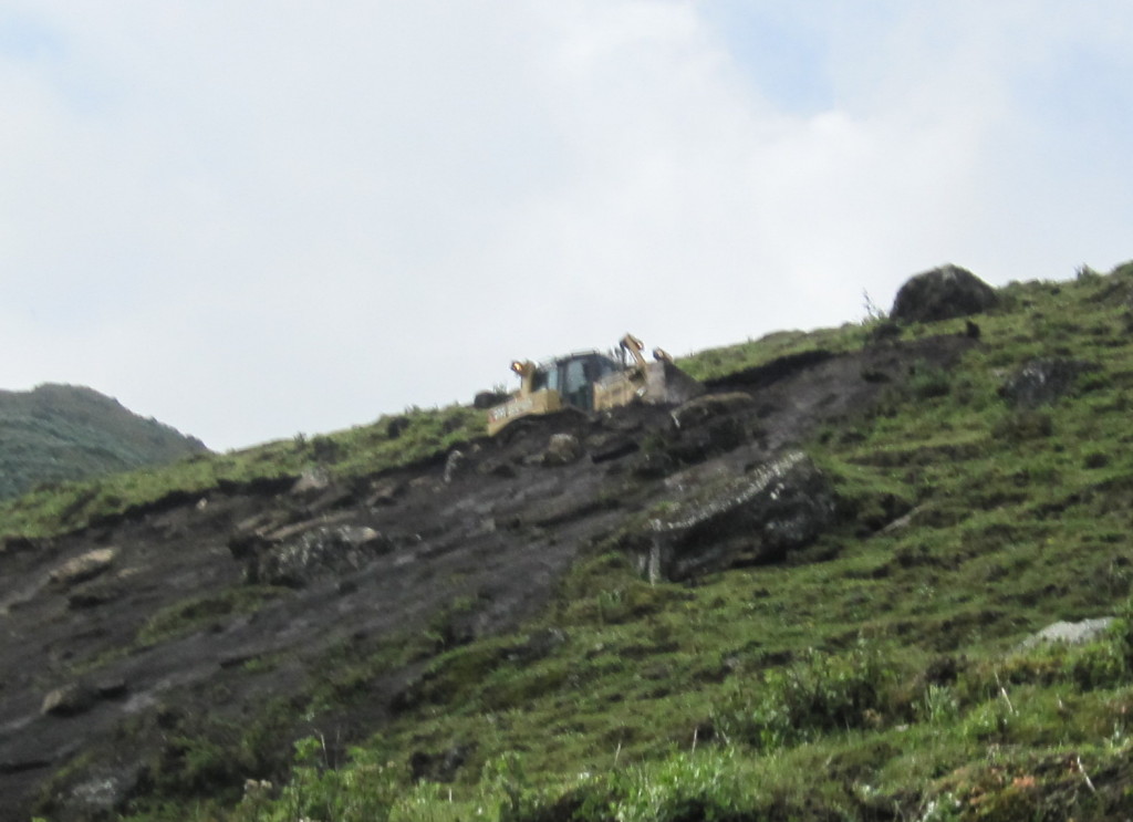
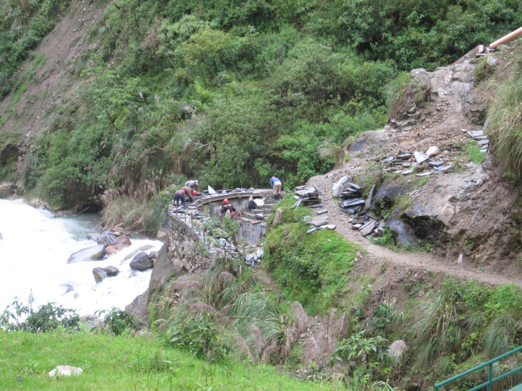
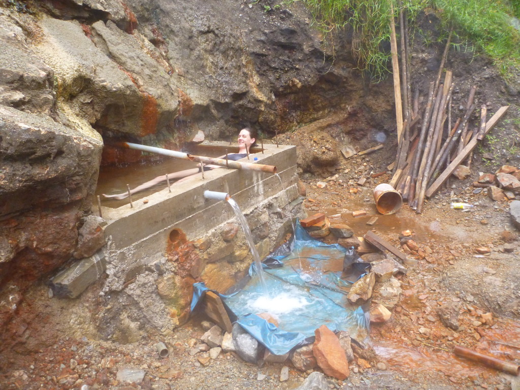
The next day we made our way out of Yanama and encountered the bulldozer that is making a road into town. Such a strange sight. We made our way over the highest pass partially on the new road (which was often covered in rock slides) and partially on the old paths. Once down a ways from the pass, we were picked up for the last hour or so of our hike by a passing dump truck and dropped off at the town of Ccolapampa. We’re still not sure how he got the truck as far in as he did but were grateful for the ride. At Ccolapampa, we were hoping to find a hot springs to ease our muscles. It took a while to find though, as the first several people we asked told us it did not exist. When we finally found it, helped by some locals, we found that they are putting in a very nice pool area (clearly for tourists) that is not yet complete – probably what people thought we were looking for. What we used was a small concrete bath put in by locals at the natural hot springs above a roaring river. The path down was steep and sketchy.
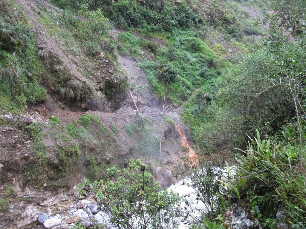
The hot spring pool was directly above a steep drop to a rushing river. You can just see the tub in the middle.
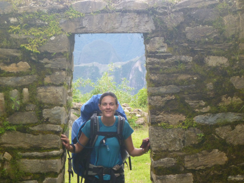
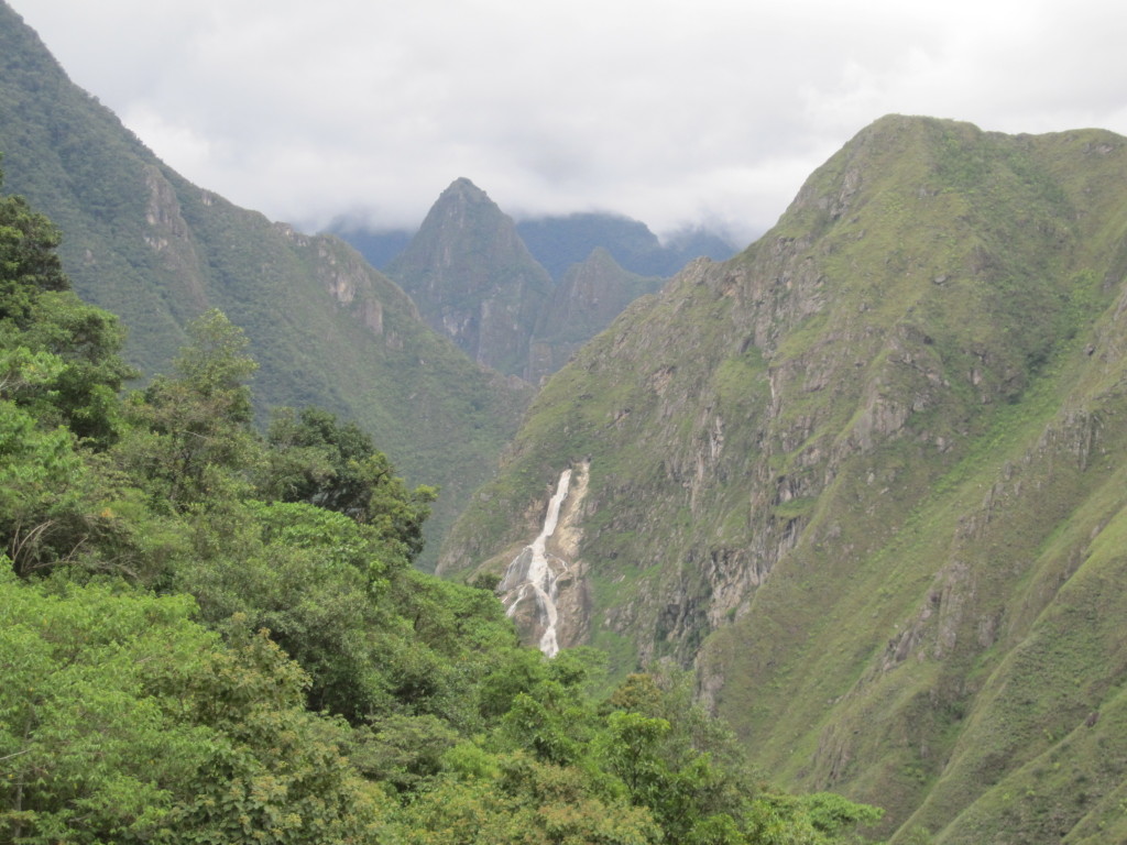
From Ccolopampa, we followed the road for a while before turning off on a path up and over our last ridge toward Machu Picchu. At the top of the ridge was another small ruins site and a great view out toward MP. A large waterfall came pouring out of the rocks on the other side about halfway down, created by a hydroelectric company. At the bottom of the valley we reached the hydroelectric station and mine where we were hoping to catch a train to Aguas Calientes, the town at the base of MP that is only reachable by foot or train. We were too late for the train, so had to walk another two hours along the tracks into town. It was an hour from dark at this point and our flashlights were almost completely out of batteries, so we were happy to find some batteries at the train station and trudged our way into town exhausted but excited by the idea of a shower, bed, and good food.

Greetings. I am a reporter with The AP doing a story about a cable car that government officials are planning to build across the Apurimac canyon so it takes just 20 minutes to get to Choquequirao. I am looking for people who have hiked to Choquequirao to see what they think of this idea. I am reachable at fbajak(at)ap(dot)org if you are willing to discuss this. Tnx!
Pingback: The Top 20 Things to do around Cusco - Nature, Culture & Ruins
Hi guys,
We’ve linked to your blog from our post on The Top 20 Things to do Around Cusco to give our readers a bit more info on Choquequirao.
• http://tourthetropics.com/blog/guides/the-top-things-to-do-around-cusco/
I hope you think it’s useful and helps inspire some more traveling.
It would be great if you find it worth sharing.
Kindest regards and keep having adventures!
Ash – TourTheTropics.com
Thanks for the info, choquequirao is one of the best and most demanding tours in Cusco, has many dazzling scenery. On my trip, the guide said that what we see is that not even half of the entire archaeological complex is incredible
all excellent, very good information, thank you.
It is similar to the itinerary that I found in an operator. I will perform the choquequirao to machupicchu, already very excited to do my walk until choquequirao for your spectacular photos.
Successes and trips